
Documented history
Mompox and the Magdalena River
The river that created the town's wealth and later changed its destiny
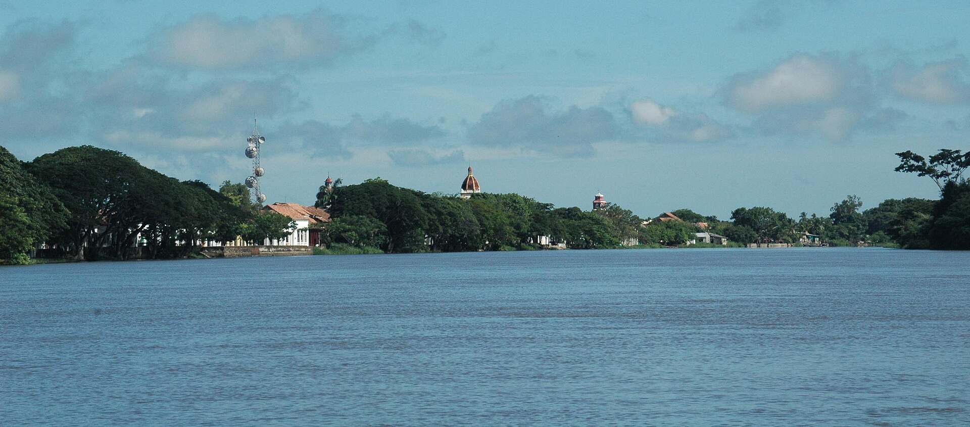
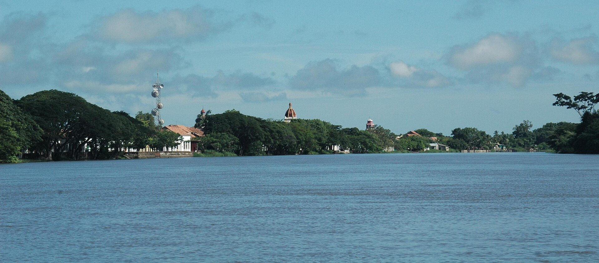
The Magdalena is not just scenery. It was Mompox's principal transport route, the foundation of its colonial prosperity, a force behind its urban form and later a factor in its relative isolation.
A town that cannot be explained without water
Mompox lies within one of Colombia's most complex wetland regions. Long before Spanish colonisation, Indigenous communities adapted to rivers, marshes and seasonal flooding, including through extensive hydraulic works documented in the broader Momposina Depression.
For the colonial town, the Magdalena became the great route between the Caribbean coast and the interior. Moving people and goods overland was difficult; the river made long-distance transport possible and placed Mompox in a privileged position.
UNESCO considers this logistics and communications role central to the town's significance between the seventeenth and early nineteenth centuries.
Boatmen, champanes and river commerce
River travel required specialised knowledge. The bogas who guided traditional boats understood currents, shallows, changing channels and places to stop. Their labour was essential to the river economy.
Boats carried agricultural products, metals, tools, textiles, correspondence and travellers. Mompox provided storage, services, workshops and markets, supporting trades ranging from goldsmithing to carpentry.
The maze of waterways also facilitated smuggling. Legal and illegal commerce both benefited from a landscape that was difficult for colonial authorities to control completely.
La Albarrada: living with floods
The river brought prosperity but also flood risk. Embankments along the waterfront helped protect the town and eventually shaped the street now known as La Albarrada.
UNESCO describes the riverside route as functioning historically like a dike. At the same time it became a street, commercial edge, residential frontage and public space.
Flooding remains a conservation concern. Moisture and water pressure can affect historic masonry, services and foundations, meaning that Mompox's heritage still depends on careful water management.
When the river changed course
During the nineteenth century, changes in the distribution of water between Magdalena branches reduced the importance of the channel passing Mompox while the Loba branch gained flow.
Traffic increasingly shifted toward Magangué. The arrival of steam navigation and the reorganisation of routes accelerated Mompox's loss of commercial centrality.
The same environmental system that had created the town's wealth therefore contributed to its later isolation. Today the river is both landscape and historical evidence of the infrastructure that once sustained the port.
Photos

Sources
This article is based on institutional and academic sources. Where documentation is uncertain, the text avoids turning assumptions into historical facts.